A Unique Data Science Summit Yesterday, several of us in the IGIS Program participated remotely in a very interesting summit on data science in agriculture.
Today was WebGIS and the Geoweb (I know, we could do a whole semester), and rounded up some nice resources. Open Street Map interactions (from Vanessa):Here is Overpass Turbo, the OSM data filtering site. https://overpass-turbo.
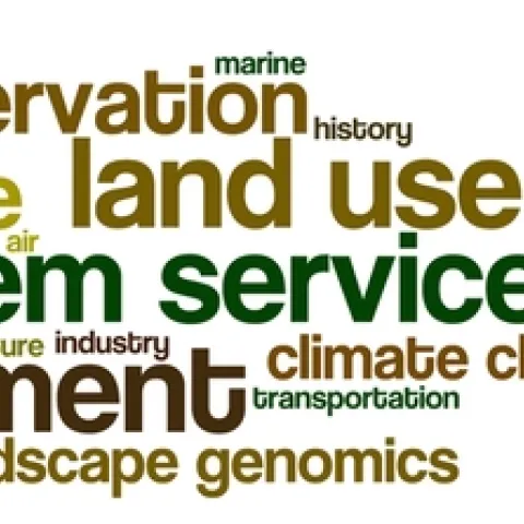
Here are the tag clouds from this year's GIS class: the why, how and what of our upcoming semester's projects. Word clouds from Wordle. The Why: what are the key problems class members want to focus on... The How: possible methods we will use... The What: some of the datasets that might be used...
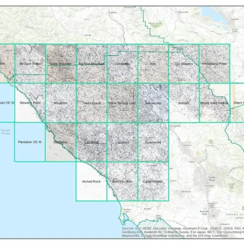
Between the years 1949-1979 the Pacific Southwest research station branch of the U.S. Forest service published two series of maps: 1) The Soil-Vegetation Maps, and 2) Timber Stand Vegetation Maps.