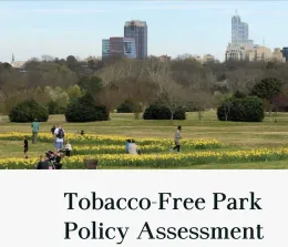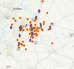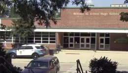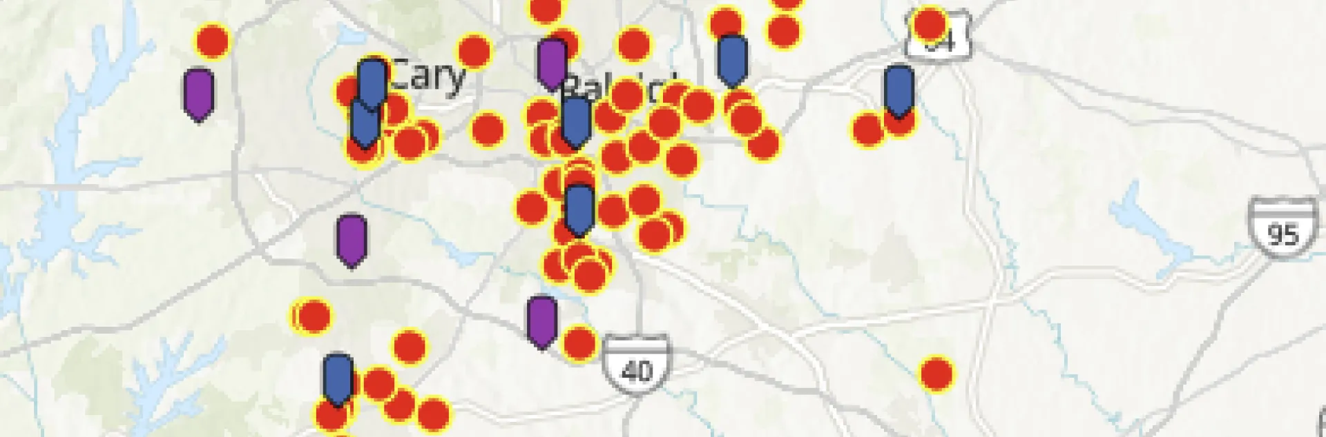
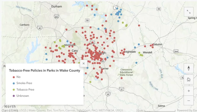
At this year's National Urban Extension Leaders Conference or commonly referred to as NUEL, 4-H youth demonstrated how they used GIS to solve problems in the community. This regional conference mostly had attendees from cooperative extension programs from the southern, eastern region, and to a certain extent had representation from the mid-west. Held in Durham, North Carolina, this year's conference demonstrated the most GIS applications from the 4-H program. One 4-H youth saw the number of tobacco and vape shops he came across on his way to school. He realized this was a big problem. Numerous scientific papers have found evidence on how proximity and density of tobacco and vape shops affects exposure to advertising, marketing of these products and eventually experimentation and use among the youth. Nikhil Patel, a 4-H member from Wake County, decided to map the tobacco and vape shops near his school. With availability of licensing data from ESRI, the student created maps of retail availability of tobacco products around the school and found 86 tobacco and vape shops near his high school within 2.5 mile radius.
In another example, a 4-H youth used maps from Living Atlas to explore voting patterns and observed that voter turnaround was higher among 65 plus than younger population. The student examined questions related to accessibility to voting centers and related data to explore why younger people voted less. Another poster explored differences in student dropout rates based on median household income and in relation with the amount spent on education, book supplies, tutoring and test preparation by county.
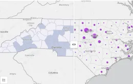
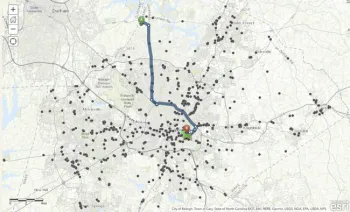
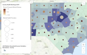
“Some other projects we are working with the 4-H youth are mapping access to urgent care in North Carolina, mapping ads of tobacco and vape shops as they affect health behavior, access to mental health,” said Thomas Ray, leader of the 4-H National Geospatial Team.
The program was originally founded in 2003 by Thomas Tate from USDA to build capacity among the youth to visualize, analyze geographic data and solve problems in the community. The National 4H Geospatial Team does not limit students' projects to the US borders. It also encourages students to undertake GIS projects internationally. They also send students to the ESRI User Conference to present their posters. Food insecurity was another application that 4-H youth explored as a part of their GIS Community Mapping Activity. Youth are involved in mapping the movement of the produce from farms to the families. With help of tools like ESRI's Business Analyst they can select geographic area of farms where they want to do qualitative interviews with growers.
The National 4-H Geospatial Team leads projects in a variety of areas such as public health, environmental policy, cultural preservation, culture, mapping art icons, and storytelling through historic records and photographs.

According to their website, in 2025 alone, they have trained 100 4-H youth in using StoryMaps, ArcGIS Survey123, 3D modeling, and other GIS projects that can provide them hands-on skills in problem solving.
If you are interested in integrating geospatial tools in your 4-H program, then check out the following StoryMaps for inspiration and reach out to me at pdvyas@ucanr.edu.
Examples of StoryMaps developed by 4-H Youth