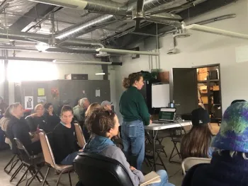
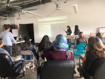
On Sunday, April 27th, about 27 farmers got together at the UC Gill Tract. Coinciding with Earth Day, this event was aimed for students to present their research on urban agriculture policy issues to the urban farmers and for the farmers to network with each other and the USDA Farm staff.
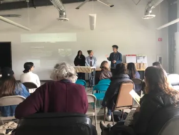
UC Berkeley Students, working under, Jennifer Sowerwine -- Faculty at UC Berkeley and Co-Chair of the Urban Ag Work Group for the UC ANR Cooperative Extension -- had been working semester long on policies and barriers for scaling up urban agriculture in the Bay Area and beyond. Students had already been doing literature review and gathering information from variety of sources as a part of their course work. Then Priyanka Vyas, GIS Analyst with the Informatics and GIS Statewide Program at UC ANR, gave a guest talk in Sowerwine's class and introduced them to ArcGIS StoryMaps. Students got excited with the idea of using StoryMaps for their presentation at the Urban Farmers Networking Event. Over the course of couple of weeks, Vyas met with the students and helped them convert their literature review into StoryMaps using a place-based lens for story telling . From the initial lengthy academic style title, students harnessed their creativity to come up with short and catchy titles for their StoryMaps. Since the goal of the StoryMaps is to lure readers into engaging with the content, short and catchy titles are the key.
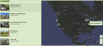
The first story map was on Seeds and Sales focused on eight different market models for urban ag policy.
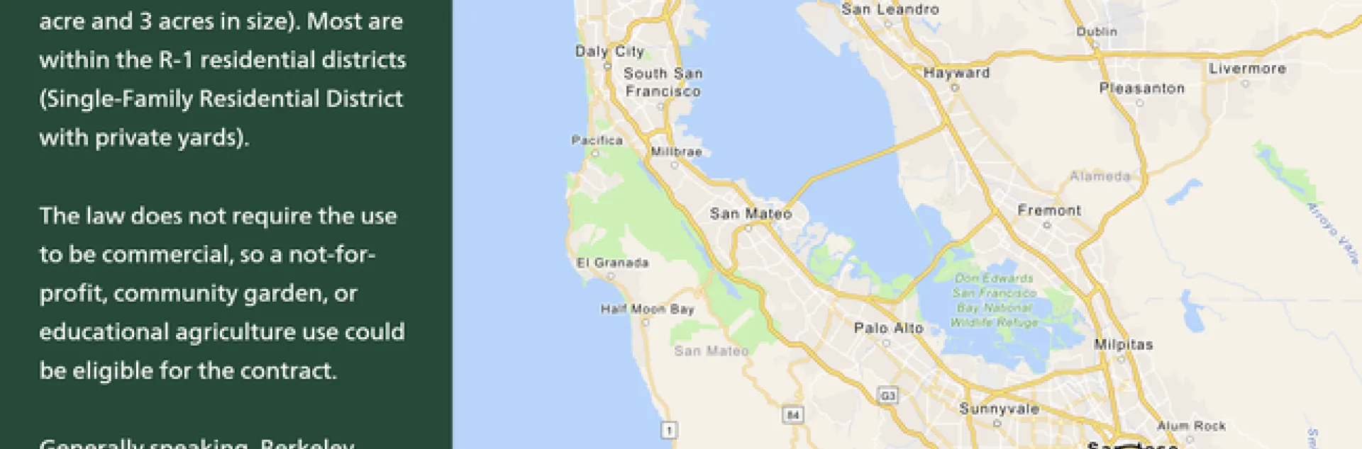
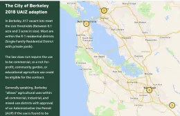
The second story map on urban agriculture incentive zone policy garnered an enormous interest among the attendees to learn more whether these policies are successful or not and the barriers to scaling up .
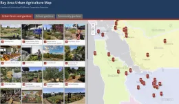
Lucy Diekmann, UCCE Urban Agriculture and Food Systems Advisor for the Santa Clara County and Co-Chair of the Urban Ag Work Group showcased a poster of the Bay Area Urban Ag map to solicit feedback from the attendees.