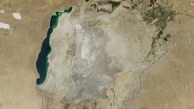
A series of satellite images from NASA’s Terra satellite, which began capturing the images in 2000, has revealed the shocking decline of water levels in the Aral Sea.
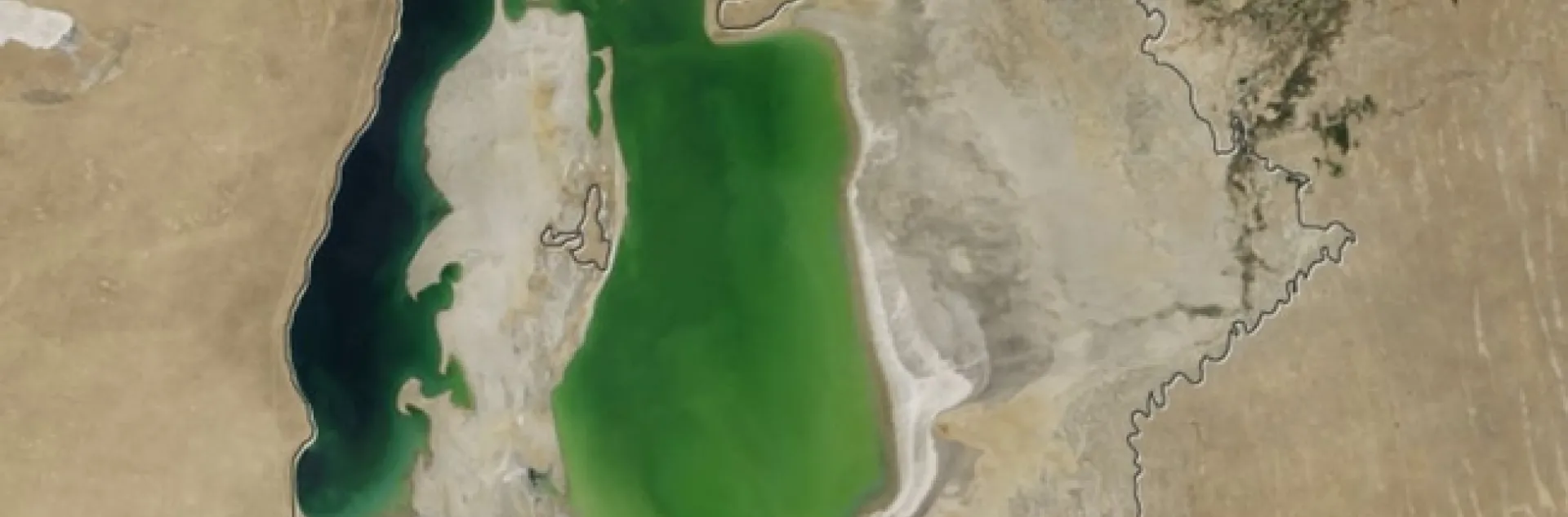
Terra satellite image, Aug. 15, 2001. (NASA) 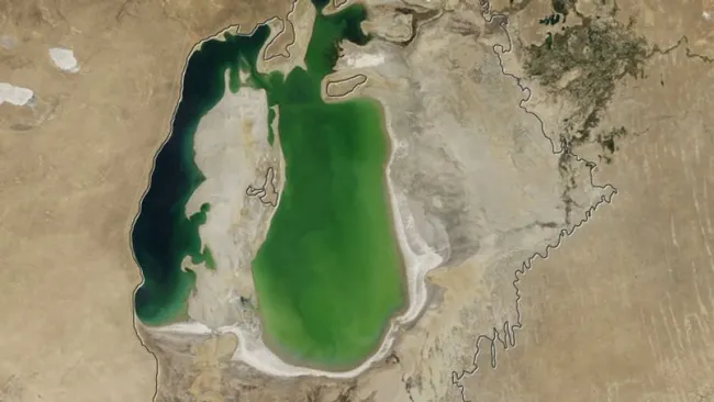 Terra satellite image, Aug. 19, 2004. (NASA)