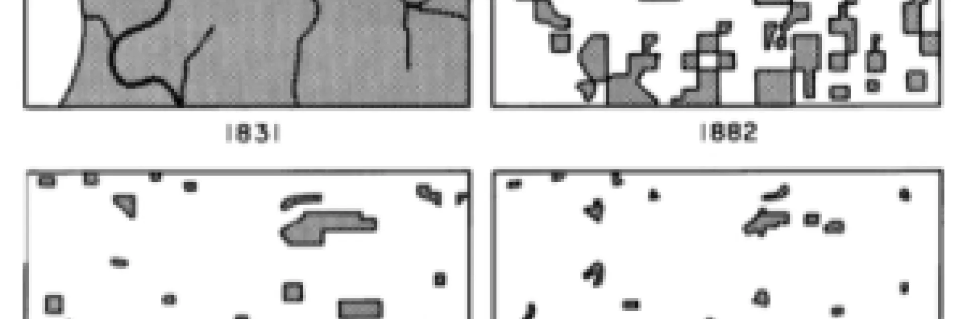
Tim describes the map documenting a transition from a wild Wisconsin dominated by a deciduous forest to a landscape in which the remaining woodlots are barely visible. This was proto-GIS, as Curtis recreated the scenes from survey data and his own observations, painstakingly piecing together handwritten records of the six-by-six mile township.
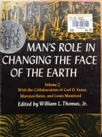
Here is my copy (at right) of the venerable tome, Volume 2, complete with its ridiculous price tag: $6.95!
I've always been in love with maps, and am fortunate now that my career allows me to learn about them and their uses daily. Thanks Tim for the reminder!