UC Berkeley's Geospatial Innovation Facility (GIF) is offering 10 training workshops this semester that use a hands-on approach to help you get started using spatial analysis to enhance your research.
An interesting position piece on the appropriate uses of big data for climate resilience. The author, Amy Luers, points out three opportunities and three risks. She sums up: "The big data revolution is upon us.
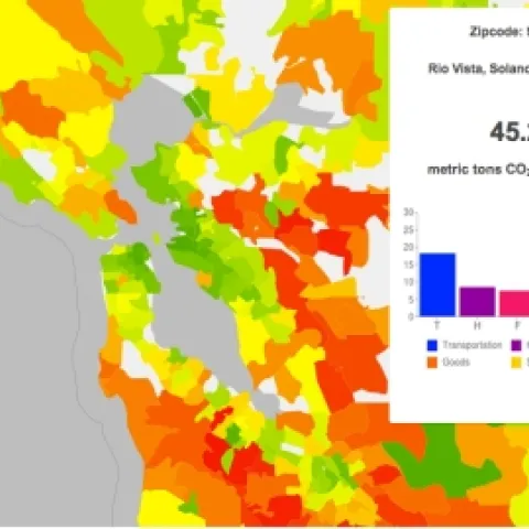
A CoolClimate Map of the SF Bay Area's carbon footprint by zipcode tabulation area shows a pattern typical of large metropolitan areas: a small footprint (green) in the urban core but a large footprint (orange and red) in surrounding suburbs.