IGIS

Article

International Map Year

September 2, 2015
Did you know that it is International Map Year? 2015-2016. The International Map Year (IMY) is a worldwide celebration of maps and their unique role in our world.
View Article
Primary Image
image 31778
Article

Fall 2015 ideas..

September 1, 2015
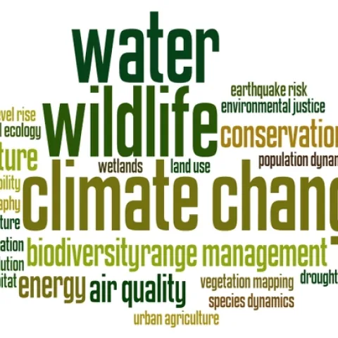
Here are the tag clouds from this year's GIS class: the why, how and what of our upcoming semester's projects. Word clouds from Wordle. The Why: what are the key problems class members want to focus on... The How: possible methods we will use... The What: some of the datasets that might be used...
View Article
Article

Data Visualization of WWII

August 31, 2015
Here in the Kelly Lab we talk a lot about effective ways to visualize data. How do we show the true weight and impact of those data we work with? How do we communicate uncertainty? I think this fellow Neil Halloran did a pretty great job with WWII.
View Article