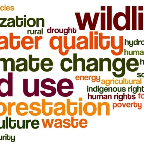
Every fall I ask my GIS students to answer the big questions in advance of their class projects. This year climate change, wildlife conservation, land use and water quality are important, as well as a number of other topics. Remote sensing continues to be important to GISers.
With the ever-changing world of technology and knowledge we have a need to get this information out to the public in a timely manner. One of the new tools that we can use are Storymaps from ESRI. These web based application combine text and maps into an intuitive and interactive experience.
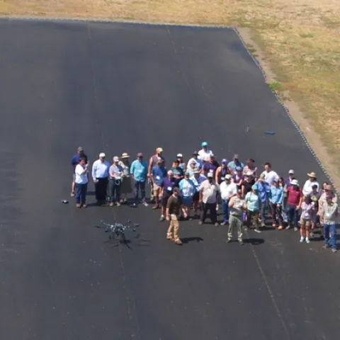
Hot on the heels of a very successful three-day DroneCamp workshop, IGIS has launched a new email list for people interested in using drones for mapping and data collection.
UC ANR's IGIS program hosted 36 drone enthusiasts for a three day DroneCamp in Davis California. DroneCamp was designed for participants with little to no experience in drone technology, but who are interested in using drones for a variety of real world mapping applications.
Today was a great day at the ESRI User conference. I attended several sessions covering the use of raster and vector data in big data analyses, the use of python and r for data science, and the use of arcpy to create and modify maps in ArcGIS Pro.